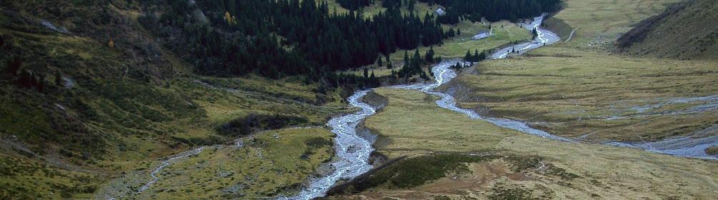
search.ch

Sardona-Welterbe-Weg

Regional route No. 73, Sardonahütte–Elm

Description

Regional route
No. 73 (Sardonahütte–Elm)
Length
20 km
Ascent • Descent
↑ 1000 m • ↓ 2200 m
Lowest point • Highest point
960 m • 2471 m
Hiking time
7 h 10 min
Grade
medium (mountain hiking trail)
Fitness level
difficult
Piz Sardona is circumnavigated via steep grassy slopes and a rocky ridge. Clear mountain lakes, beautiful river courses embedded in the rock and mighty waterfalls are reminders of the forces of nature that created the geological phenomena in this area. Marmots, ibexes and even bearded vultures can be sighted here.
The stage starts at the end of the virtually uninhabited Calfeisen valley with a splendid view over the valley floor and the Gigerwald lake. The first section of the route leads along the steep slope back to the Heubützli pass. The trail climbs far above the tree line over alpine meadows, scree gullies, streams and past rock faces. With a bit of luck, you can observe a family of marmots. Once on the pass, you look down on the Heubützli lake, situated in a scree hollow. A narrow, pointed, rocky ridge stretches out to the left and right. The trail now continues partly on the mountain ridge around the Fahnenstock and then down into the Muota valley. Here it is quite possible to be observed by ibexes (or vice versa). Their majestic silhouettes stand out impressively against the Muota valley ridge. Numerous rocks have tumbled onto the meadows from the steep slopes on both sides. The special formations of terrain and rocks are a witness to the forces of nature that have been at work here over millions of years. Upon arrival at the Foobach rushing through deeply cut rock hollows, the descent ends and the route heads uphill once more. Passing picturesque rock faces in the green countryside, the trail now heads towards the Foo pass. Above the Heidelbach stream, you will notice a great variety of flora. Once on top of the Foo pass, the view opens up over the massive mountain ranges of the Sernftal valley. Here you reach the highest point of the stage at 2,223 metres and begin a long descent down to Elm with its 1,041 metres above sea level. Initially, the trail is steep and zigzags across stony slopes to Raminer Matt. Later it continues down into the valley on firmer paths through the forest. Here, one’s attention is drawn time and again to the impressive waterfalls tumbling from the cliffs on the opposite side of the slope. During the descent, the main Glarus overthrust between Ringelspitz and Piz Sardona becomes clearly visible. The distinct horizontal line in the mountain separates two layers of rock. The supporting lower layer is more than 200 million years younger than the darker layer above. Once at the bottom of the valley, the trail continues across the Sernf river to Elm. From here it is well worth taking a look back at the mountain scenery and the Martinsloch (Martin's hole). Twice a year, the sun shines through this drop-shaped opening to illuminate the church tower of Elm. The hole is said to have been cut into the rock in the battle between the heroic Martin and the evil giant. In the slate museum in Elm, you can learn more about slate mining which marked this valley, and the production site of Elmer Citro offers a first-hand experience of the springs. You can descend into the spring area and learn how mineral water is generated from rain and snow deep in the Glarus mountains over the course of eight years.

Route

Height profile

Weather:

Comments about this activity or place?

Thank you for your feedback!