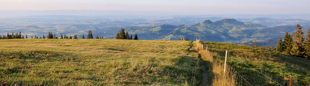
search.ch

Auf dem Rücken des Schwyberg

Local route No. 274, Schwarzsee–Schwarzsee

Description

Local route
No. 274 (Schwarzsee–Schwarzsee)
Length
18 km
Ascent • Descent
↑ 900 m • ↓ 900 m
Lowest point • Highest point
965 m • 1645 m
Hiking time
5 h 45 min
Grade
medium (mountain hiking trail)
Fitness level
medium
This hike along the ridge of Schwyberg Mountain offers fantastic views of the Swiss Mittelland with a backdrop of the Jura Mountains and the foothills and the Alps on the other side. The pristine, lovely Schwarzsee, changing colour from turquoise to black, depending on the light, is both start and destination.
The Schwarzsee, nestled in the foothills of the Fribourg Alps, looks dark. Legend has it that the water appears almost black since a giant washed his feet in it. The village of the same name extends along the western and northern shore of the Schwarzsee. The area located directly on the border between French- and German-speaking Switzerland is a popular destination, especially for those living in Fribourg and Bern. Surrounded by a majestic backdrop, including Kaiseregg, Spitzflue and the spotlight of this hike, the Schwyberg Mountains, the trail starts at the Hostellerie stop. From there it follows the lakeshore to Schwarzsee Bad on a level course. The ascent across meadows and through a scattering of trees turns at the edge of a forest. Shortly thereafter Fuchses Schwyberg is reached, an open peak with amazing views across the Schwarzsee Valley and the Kaiseregg, Spitzflue, Moléson and La Berra mountains. A relatively flat section follows before the trail descends slightly toward Alp Hapferen Schwyberg. On the ridge in the direction of Gross Schwyberg the peak of Kaiseregg reappears and the views open up. Even Fribourg’s fascinating Poya Bridge with its stay cables can be glimpsed in the distance. The highest point of the route offers a 360-degree panoramic view of 13 cantons. The descent on the hiking trail to the Gurli mountain restaurant starts near the Gross Schwyberg mountain hut. Follow the signs toward Holzena and Lichtena. The last part of the walk undulates along the shore of the Warme Sense River. The latter originates in the Schwarzsee and joins the Kalte Sense River near Zollhaus. From there on the river is called Sense and flows into the Saane River near Laupen. On the way to the source of the Warme Sense River and the destination of the walk, there are various opportunities to sit on a bench, rest your feet and enjoy the scenery. A number of activities are also available in the village, such as minigolf, swimming in the lake or summer sledding.

Booking Information

Route

Height profile

Weather:

Comments about this activity or place?

Thank you for your feedback!