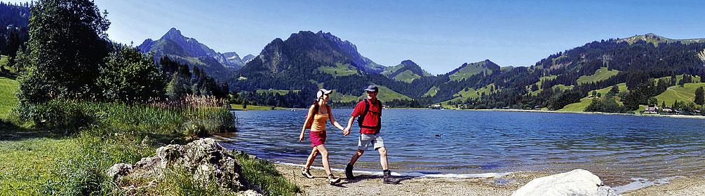
Ein kontinuierlicher, sanfter Aufstieg führt über weite Blumenwiesen ans Ufer der Sense. Sie gilt als einer der letzten Wildflüsse im Alpenraum und wurde vom WWF als schönster Fluss Europas ausgezeichnet. Am Flachmoor und Amphibienlaichgebiet Rohrmoos vorbei geht es zum Schwarzsee, der zwischen bewaldeten Hügeln zum Baden einlädt.